Senior Research Scientist
Øivind Due Trier
- Department Image analysis and Earth observation
- Phone number +47 22 85 26 98
- E-mail trier@nr.stage.dekodes.no
Projects
- Earth observation
- Climate and Environment
- Mapping and map revision
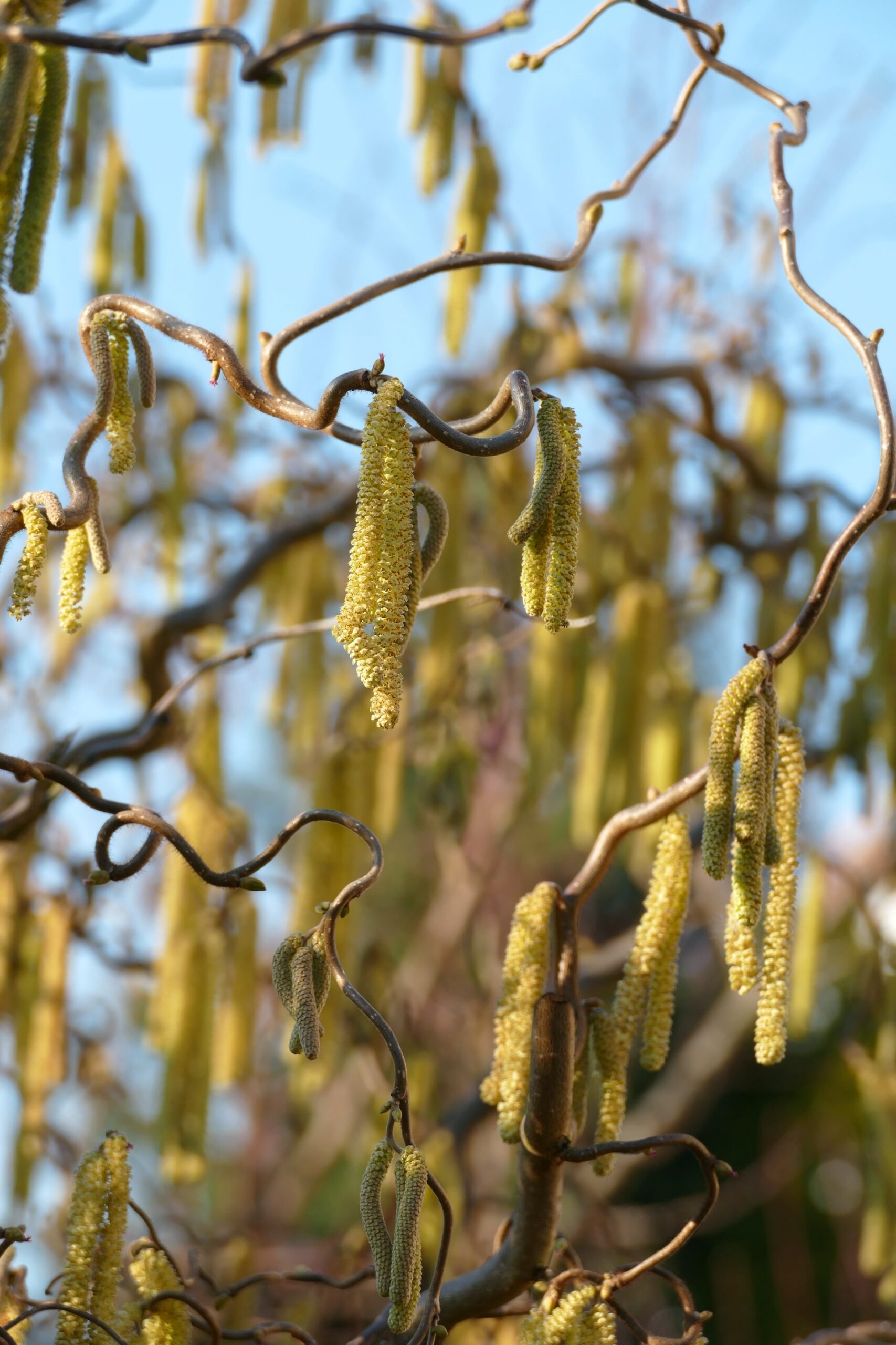
Birch pollen prediction using satellite data (Sen4Pol)

- Earth observation
- Mapping and map revision
Automated mapping (AutoKart)
- Earth observation
- Mapping and map revision
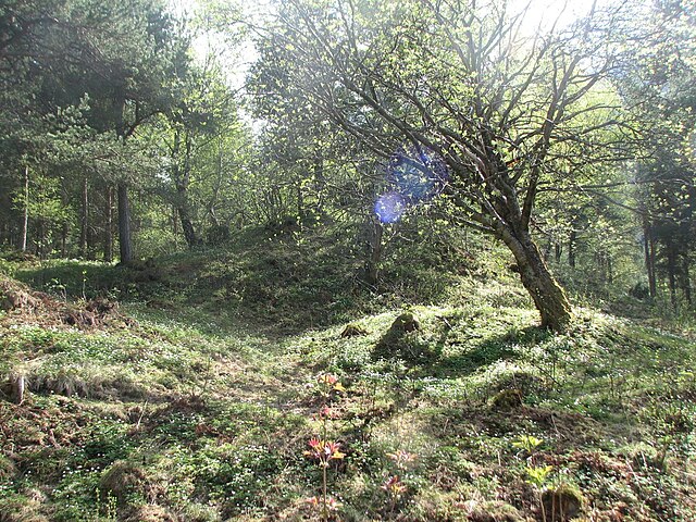
Mapping our cultural heritage (CultSearcher)
- Earth observation
- Climate and Environment
- Mapping and map revision
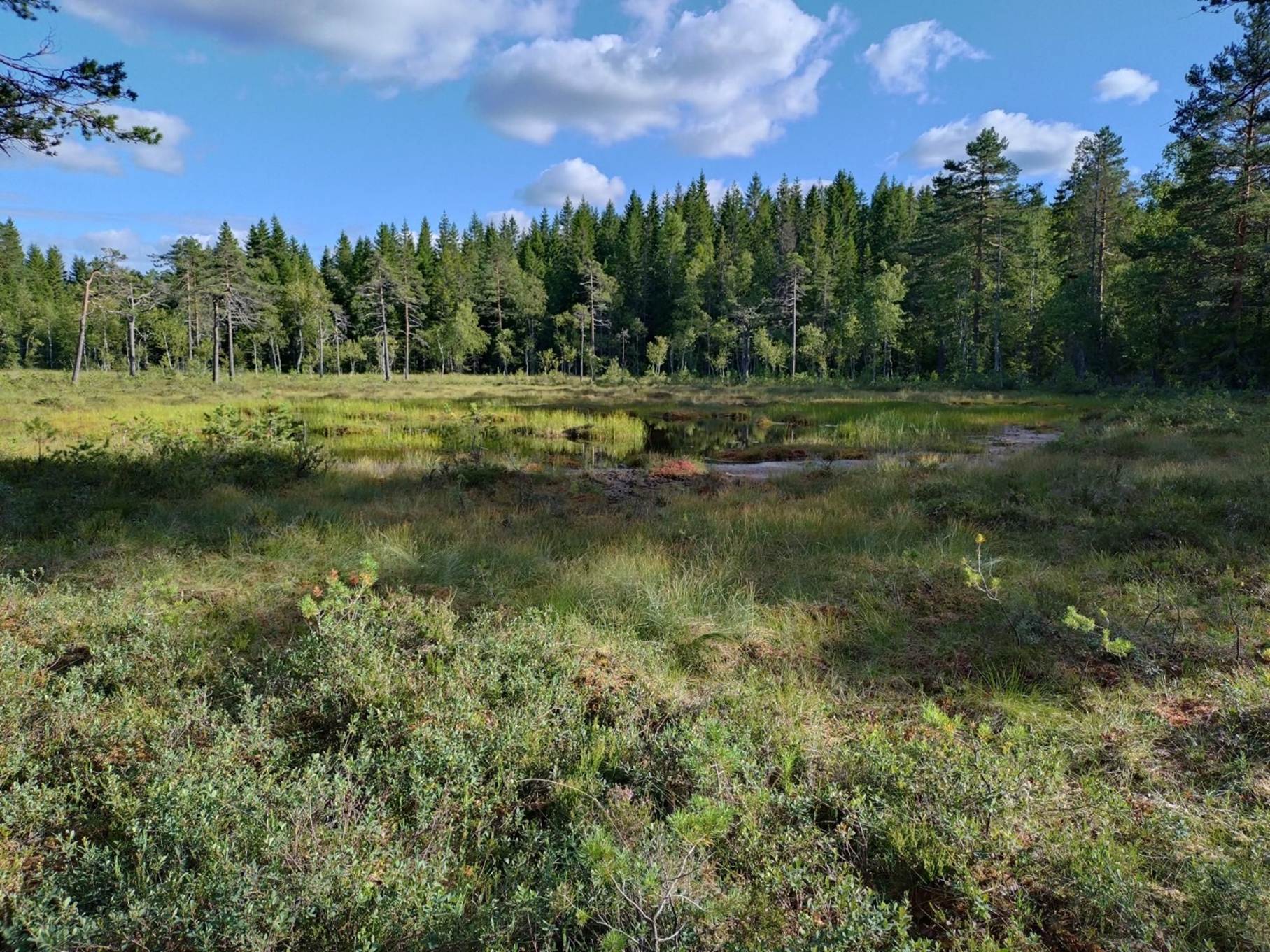
Using deep neural networks to map wetlands (LAVDAS)
Publications
- 200 publications found
Trier, Øivind Due and Lund, Carl William. (2026).
Utvikling og validering av maskinlæringsmodeller i innovasjonsprosjektet LAVDAS. Geoforum
NVA
Scientific lecture
Show summary
Utviklingen i innovasjonsprosjektet «landsdekkende myrdatasett» har vært preget av både teknologiske fremskritt og utfordringer knyttet til å etablere en landsdekkende KI-modell for kartlegging av myr og våtmark. Presnetasjonen tar for seg utviklingen og testingen av ulike modellutgaver, og hvordan de kan kombinere dem for å lage et mer robust og presist resultat, samt innsikt i testresultatene som foreligger.
Dahl, Fredrik Andreas; Trier, Øivind Due and Solberg, Rune. (2026).
Analyse av avvikskarakteristikk for snødekningsgrad.
Show summary
I denne rapporten beskrives arbeidet og resultater fra en utvidelse av validering og evaluering av produkter for snødekningsgrad (FSC) fra 2024. Hensikten har vært å undersøke hvordan avvikene (feil) i FSC-verdier, relativt til «fasiter» fra bilder med høyere oppløsning, varierer i tid og rom med aggregeringsnivå, arealdekke og terreng. Analysene er gjort for Østlandet og tilsigsområder valgt ut av NVE med satellittdata over flere år. Referansedata («fasiter») er basert på Sentinel-2 MSIprodukter i 10 m oppløsning, mens FSC-produktene som ble analysert, er basert på 0,5 km data fra Sentinel-3 SLSTR. Resultatene viser at avvikene har tydelig romlig og tidsmessig struktur. Romlig aggregering reduserer
MAE og RMSE, mens bias i hovedsak bevares. En betydelig del av feilen midles likevel ikke effektivt ut ved aggregering opp til de største testede skalaene, noe som tyder på systematiske avvik over større områder. I høydesoneanalysene fremkommer et robust mønster med økte avvik rundt 400-500 m. Når FSC aggregeres til sone-middelverdier per dato reduseres avvikene sammenliknet med pikselbasert stratifisering, men mønsteret i høyde avtar ikke fullt ut. Avvikene er generelt større i skog enn i områder med bart fjell og sparsom vegetasjon, med en negativ bias i skog, som er konsistent med utfordringer knyttet til snø under trekroner. Samlet viser analysen hvordan avvik endrer karakter
ved aggregering til modelleringsrelevante enheter, og peker på forhold som bør tas hensyn til ved bruk av FSC som areal- og høydesoneaggregert modellinput
Trier, Øivind Due. (2025).
LAVDAS kildekode.
NVA
Report
Show summary
Dette er dokumentasjon av programvaren i LAVDAS slik den foreligger per mars 2025
Bennett, Rebecca; COWLEY, DAVID; Gaffney, Chris; Opitz, Rachel; Rášová, Alexandra Bucha; Zerboni, Andrea; Corns, Anthony; Russell, Anthony; Villarejo, Antonio Jesús Ortiz; Mann, Bruce; Collaro, Carolina; Novák, David; Vrhovnik, Dimitrij Mlekuž; Rensink, Eelco; fovet, elise; Fontana, Giacomo; Kramer, Iris; Herzog, Irmela; Streatfeild-James, Jacob; Eogan, James; Zachar, Jan; Kort, Jan Willem de; Waagen, Jitte; Lambers, Karsten; Challis, Keith; Teale, Kimberley; Killoran, Lucy; Banaszek, Łukasz; Meyer-Heß, M. Fabian; Rybska, Magdalena; Kostamovaara, Marika; Oakey, Matthew; Doneus, Michael; Kecheva, Nadezhda; Crabb, Nicholas; Anttiroiko, Niko; Trier, Øivind Due; Risbøl, Ole; Crow, Peter; O'Keeffe, Paul; Evans, Sally; Popović, Sara; Crutchley, Simon; Davis, Steve; Zoldoske, Teagan; Driver, Toby; Fildes, Tom; Vaart, Wouter Baernd Verschoof-van der and Kokalj, Žiga. (2025).
Guidelines for the use of Airborne Laser Scanning (Lidar) in Archaeology (EAC Guidelines 10).
Rudjord, Øystein; Waldeland, Anders U.; Trier, Øivind Due and Solberg, Rune. (2024).
Isdekningsgrad på innsjøer fra SLSTR med dyp læring.
NVA
Report
Trier, Øivind Due. (2024).
Birch pollen predictions from Sentinel-2 images. Sen4Pol Phase 3.
NVA
Report
Trier, Øivind Due; Reksten, Jarle Hamar and Solberg, Rune. (2024).
Validering og evaluering av FSC. Delprosjekt for snø og is i NVE Copernicus 2.
NVA
Report
Trier, Øivind Due and Salberg, Arnt Børre. (2024).
National-Scale Detection of New Forest Roads in Sentinel-2 Time Series.
Show summary
The Norwegian Environment Agency is responsible for updating a map of undisturbed nature, which is performed every five years based on aerial photos. Some of the aerial photos are already up to five years old when a new version of the map of undisturbed nature is published. Thus, several new nature interventions may have been missed. To address this issue, the timeliness and mapping accuracy were improved by integrating Sentinel-2 satellite imagery for the detection of new roads across Norway. The focus on new roads was due to the fact that most new nature interventions include the construction of new roads. The proposed methodology is based on applying U-Net on all the available summer images with less than 10% cloud cover over a five-year period, with an aggregation step to summarize the predictions. The observed detection rate was 98%. Post-processing steps reduced the false positive rate to 46%. However, as the false positive rate was still substantial, the manual verification of the predicted new roads was needed. The false negative rate was low, except in areas without vegetation.
Aarnes, Ingrid; Hauge, Ragnar; Trier, Øivind Due; Haug, Ola and Vazquez, Ariel Almendral. (2024).
Hierarkisk modell for naturtyper til bruk i naturregnskap.
NVA
Report
Trier, Øivind Due. (2024).
Performance evaluation of deep learning methods for archaeological object detection in airborne lidar data.
NVA
Scientific lecture
Solberg, Rune; Rudjord, Øystein and Trier, Øivind Due. (2023).
Harmonised snow variable retrieval for hydrological applications by reconstruction of the snow surface spectrum using radiative transfer modelling. European Space Agency
NVA
Scientific lecture
Trier, Øivind Due and Salberg, Arnt-Børre. (2023).
Bruk av kunstig intelligens / dyp læring på jordobservasjonsdata. Norsk Romsenter
NVA
Lecture
Trier, Øivind Due. (2023).
Performance evaluation of deep learning methods for archaeological object detection in airborne lidar data. Universitetet i Tromsø
NVA
Poster
Trier, Øivind Due; Waldeland, Anders U. and Solberg, Rune. (2023).
Videreutvikling av skydeteksjon for SLSTR med dyp læring. Delprosjekt for snø og is i NVE Copernicus 2.
NVA
Report
Waldeland, Anders U.; Rudjord, Øystein; Trier, Øivind Due and Solberg, Rune. (2023).
Videreutvikling av snødekningsgrad for SLSTR med dyp læring. Delprosjekt for snø og is i NVE Copernicus 2.
NVA
Report
Solberg, Rune and Trier, Øivind Due. (2022).
Sentinel for snow surface hoar mapping. Sentinel4SurfaceHoar project results.
NVA
Report
Trier, Øivind Due; Salberg, Arnt-Børre; Larsen, Ragnvald and Nyvoll, Ole Torbjørn. (2022).
Detection of forest roads in Sentinel-2 images using U-Net. Universitetet i Tromsø
NVA
Scientific lecture
Trier, Øivind Due; Salberg, Arnt-Børre; Larsen, Ragnvald and Nyvoll, Ole Torbjørn. (2022).
Detection of nature interventions in Sentinel-2 images of Norway using U-Net. European Association of Remote Sensing Laboratories
NVA
Scientific lecture
Trier, Øivind Due; Reksten, Jarle Hamar and Løseth, Kristian. (2022).
Automated mapping of cultural heritage in Norway from airborne lidar data using Faster R-CNN. Universitetet i Tromsø
NVA
Scientific lecture
Trier, Øivind Due; Reksten, Jarle Hamar and Løseth, Kristian. (2022).
Automated mapping of cultural heritage in Norway from airborne laser scanning data using Faster R-CNN. European Association of Remote Sensing Laboratories
NVA
Scientific lecture
Waldeland, Anders Ueland; Trier, Øivind Due and Salberg, Arnt-Børre. (2022).
Forest mapping and monitoring in Africa using Sentinel-2 data and deep learning.
Show summary
We propose and investigate a method for creating large scale forest height maps at 10 m resolution from Sentinel-2 data using deep neural networks. In addition, we demonstrate how clear-cutting events can be detected in a time series of the resulting forest height maps. The network architecture is a convolutional neural network based on the U-Net architecture. The 13 Sentinel-2 spectral bands are resampled to 10 m spatial resolution and input to the U-Net, which outputs a map with per-pixel forest height estimates. The network is trained with ground truth data acquired from airborne lidar scanning surveys from three different geographical regions. They cover different types of forests: lowland tropical rainforest in the Democratic Republic of Congo, Miombo woodlands (dry forest) in Liwale, Tanzania, and submontane tropical rainforest in Amani, Tanzania. We demonstrate that the trained network generalizes to new geographical regions within the African continent with a mean average error of 4.6 m. This is on-par with a previously published method’s ability to generalize to new geographical regions within the same country. Clear-cutting events are detected using a t-test. The null-hypothesis of the t-test is that the forest height has not changed after any given point in time in the forest height time-series.
Trier, Øivind Due; Salberg, Arnt Børre; Larsen, Ragnvald and Nyvoll, Ole Torbjørn. (2022).
Detection of forest roads in Sentinel-2 images using U-Net.
Show summary
This paper presents a new method for semi-automatic detection of nature interventions inSentinel-2 satellite images with 10 m spatial res-olution. The Norwegian Environment Agency ismaintaining a map of undisturbed nature in Nor-way. U-Net was used for automated detection ofnew roads, as these are often the cause wheneverthe area of undisturbed nature is reduced. Themethod was able to detect many new roads, butwith some false positives and possibly some falsenegatives (i.e., missing new roads). In conclusion,we have demonstrated that automated detection ofnew roads, for the purpose of updating the mapof undisturbed nature, is possible. We have alsosuggested several improvements of the method toimprove its usefulness.
Trier, Øivind Due and Løseth, Kristian. (2021).
Detection of cultural heritage in airborne laser scanning data using Faster R-CNN. Results on Norwegian data.
Show summary
A new processing chain for automated archaeological mapping from airborne lidar data is proposed. First, the lidar data was converted to a detailed digital terrain model (DTM), which was then converted to a local relief model (LRM) in which cultural heritage objects may be visible.
Simple faster R-CNN was used as the basis for the detection method. This deep neural network was pre-trained on the ImageNet labelled image database. Additional training
was done on LRM images containing known locations of grave mounds, pitfall traps and charcoal kilns.
The classification performance was 87 % consumer’s accuracy on a test set not seen during training. At the same time, the producer’s accuracy was 75 %. However, all the test set images contained at least one cultural heritage object. In most landscapes, the majority of image patches of the same size may contain no cultural heritage objects visible in the DTM. Thus, the estimated producer’s accuracy of 75 % may be too optimistic. On the other hand, the number of false positives appeared to be low on the Øvre Eiker unlabelled test data. In conclusion, it was demonstrated that faster R-CNN is well suited, in terms of consumer’s accuracy, for automated detection of cultural heritage objects such as charcoal kilns, grave mounds and pitfall traps in high resolution airborne lidar data. However, one may expect that the method must be improved in terms of producer’s accuracy in order to limit the number of false positives when applied on large areas for detailed archaeological mapping.
Trier, Øivind Due. (2021).
Presentasjon fra prosjektet om inngrepsfri natur og deteksjon av kulturminner. Miljødirektoratet
NVA
Scientific lecture
Trier, Øivind Due. (2021).
Towards automated urban map revision using deep neural networks on airborne lidar and hyperspectral data. European Association of Remote Sensing Laboratories
NVA
Lecture
Solberg, Rune; Reksten, Jarle Hamar; Trier, Øivind Due; Waldeland, Anders U.; Meldvold, Kjetil and Orthe, Nils Kristian. (2021).
Utvikling av operasjonell snøtjeneste ved NVE. Resultater fra prosjektfase 3.
NVA
Report
Solberg, Rune; Salberg, Arnt Børre; Waldeland, Anders U.; Reksten, Jarle Hamar; Trier, Øivind Due; Kreiner, Matilde Brandt; Wulf, Tore; Pedersen, Leif Toudal and Stokholm, Andreas. (2021).
Final report. AI4Arctic Deliverable 6.
NVA
Report
Trier, Øivind Due; Reksten, Jarle Hamar and Løseth, Kristian. (2021).
Automated mapping of cultural heritage in Norway from airborne lidar data using faster R-CNN.
Show summary
The existing cultural heritage mapping in Norway is incomplete. Some selected areas are mapped well, while the majority of areas only contain chance discoveries, often with bad positional accuracy. The goal of this research was to develop automated tools for improving the cultural heritage mapping in Norway, thus enabling detailed mapping of large areas within realistic budgets and time frames. The focus was on three types of cultural heritage that occur frequently in many types of Norwegian landscape: grave mounds, pitfall traps in deer hunting systems and charcoal kilns.
A recent development in deep neural networks for object detection in natural images is the region-proposing convolutional neural network (R-CNN), which may also be used for cultural heritage detection in local relief model (LRM) visualizations of airborne laser scanning (ALS) data. Python code for ‘Simple Faster R-CNN’ was downloaded from Github.
On 737 test images (16.6 km2) not seen during training, 87 % of the true cultural heritage objects were correctly identified, while 24 % of the predicted cultural heritage locations were false. However, all test images were small (150 m × 150 m) and contained at least one cultural heritage object, meaning that the false positive rate may be higher for an entire landscape. In Larvik municipality, Vestfold and Telemark County, on a 67 km2 area not seen during training, the R-CNN correctly identified 38 % of the true grave mounds, with 89 % false positives. On a 937 km2 area covering Øvre Eiker municipality, Viken County, the R-CNN correctly identified 90 % of the charcoal kilns, with 38 % false positives.
In conclusion, we have demonstrated that Faster R-CNN is well suited for semi-automatic detection of cultural heritage objects such as charcoal kilns, grave mounds and pitfall traps in high resolution airborne lidar data. However, it is desirable to reduce the false positive rate in order to limit the amount of visual inspection needed when the method is applied to large areas for detailed archaeological mapping.
Trier, Øivind Due. (2021).
Automated building detection from airborne hyperspectral and lidar data. UiT SFI Visual Intelligence
NVA
Lecture
Trier, Øivind Due. (2021).
Automated building detection with Mask R-CNN from combined hyperspectral and lidar data. IEEE
NVA
Scientific lecture
Trier, Øivind Due; Waldeland, Anders U. and Solberg, Rune. (2021).
Automatisk skydeteksjon i Sentinel-3 SLSTR satellittbilder med U-Net. Første resultater.
NVA
Report
Horgen, Maria Linea and Trier, Øivind Due. (2021).
Bygningsdeteksjon. Utprøving av to nevrale nettverk.
NVA
Report
Næsset, Erik; McRoberts, Ronald E.; Pekkarinen, Anssi; Saatchi, Sassan; Santoro, Maurizio; Trier, Øivind Due; Zahabu, Eliakimu and Gobakken, Terje. (2020).
Corrigendum to ‘Use of local and global maps of forest canopy height and aboveground biomass to enhance local estimates of biomass in miombo woodlands in Tanzania’ [Int J Appl Earth Obs Geoinformation 89 (2020) 102109].
Wahl, Jens Christian; Heinrich, Claudio; Thorarinsdottir, Thordis; Ordonez, Alba; Trier, Øivind Due; Salberg, Arnt-Børre and Haug, Ola. (2020).
Stedsbasert risiko for vannskader - fase 1: Vurdering av topografiske indekser.
NVA
Report
Trier, Øivind Due and Salberg, Arnt-Børre. (2020).
Deteksjon av veier med Sentinel. Fjernmåling av endringer i inngrepsfri natur. Statens kartverk
NVA
Scientific lecture
Trier, Øivind Due and Salberg, Arnt-Børre. (2020).
Deteksjon av veier i Sentinel-2 med U-Net. Fjernmåling av endringer i inngrepsfri natur. Miljødirektoratet
NVA
Scientific lecture
Trier, Øivind Due. (2020).
Deteksjon av skogsveger. Kartlegging av naturinngrep – fase 2.
NVA
Report
Trier, Øivind Due. (2020).
Automatisering av kartlegging. Status metodeutvikling, fase 1 i prosjektet.
NVA
Report
Næsset, Erik; McRoberts, Ronald E.; Pekkarinen, Anssi; Saatchi, Sassan; Santoro, Maurizio; Trier, Øivind Due; Zahabu, Eliakimu and Gobakken, Terje. (2020).
Erratum: Use of local and global maps of forest canopy height and aboveground biomass to enhance local estimates of biomass in miombo woodlands in Tanzania (International Journal of Applied Earth Observations and Geoinformation (2020) 89, (S0303243419312103), (10.1016/j.jag.2020.102109)).
Rudjord, Øystein; Trier, Øivind Due; Solberg, Rune and Hughes, Nick. (2020).
Sentinel4ThinIce Phase 2 WP8: Diagnosis and correction of possible underestimated ice thickness. Sentinel4ThinIce project report 2020.
NVA
Report
Waldeland, Anders Ueland; Salberg, Arnt-Børre; Trier, Øivind Due and Vollrath, Andreas. (2020).
Large-Scale Vegetation Height Mapping from Sentinel Data Using Deep Learning.
Show summary
The deep learning revolution in computer vision has enabled a potential for creating new value chains for Earth observation that significantly enhances the analysis of satellite data for tasks like land cover mapping, change analysis, and object detection. We demonstrate a deep learning based value chain for the task of mapping vegetation height in the Liwale region in Tanzania using Sentinel-1 and −2 data. As ground truth data we use lidar measurements, which are processed to provide the average vegetation height per Sentinel-2 pixel grid (10 m). We apply the UNet, which is a widely used neural network for segmentation tasks in computer vision, to estimate average vegetation height from the Sentinel data. Preliminary results show that we are able to map the forest extent with high accuracy, with an RMSE of 3.5 m for Sentinel-2 data and 4.6 m for the Sentinel-1 data.
Næsset, Erik; McRoberts, Ronald E.; Pekkarinen, Anssi; Saatchi, Sassan; Santoro, Maurizio; Trier, Øivind Due; Zahabu, Eliakimu and Gobakken, Terje. (2020).
Use of local and global maps of forest canopy height and aboveground biomass to enhance local estimates of biomass in miombo woodlands in Tanzania.
Show summary
Field surveys are often a primary source of aboveground biomass (AGB) data, but plot-based estimates of parameters related to AGB are often not sufficiently precise, particularly not in tropical countries. Remotely sensed data may complement field data and thus help to increase the precision of estimates and circumvent some of the problems with missing sample observations in inaccessible areas. Here, we report the results of a study conducted in a 15,867 km² area in the dry miombo woodlands of Tanzania, to quantify the contribution of existing canopy height and biomass maps to improving the precision of canopy height and AGB estimates locally. A local and a global height map and three global biomass maps, and a probability sample of 513 inventory plots were subject to analysis. Model-assisted sampling estimators were used to estimate mean height and AGB across the study area using the original maps and then with the maps calibrated with local inventory plots. Large systematic map errors – positive or negative – were found for all the maps, with systematic errors as great as 60–70 %. The maps contributed nothing or even negatively to the precision of mean height and mean AGB estimates. However, after being calibrated locally, the maps contributed substantially to increasing the precision of both mean height and mean AGB estimates, with relative efficiencies (variance of the field-based estimates relative to the variance of the map-assisted estimates) of 1.3–2.7 for the overall estimates. The study, although focused on a relatively small area of dry tropical forests, illustrates the potential strengths and weaknesses of existing global forest height and biomass maps based on remotely sensed data and universal prediction models. Our results suggest that the use of regional or local inventory data for calibration can substantially increase the precision of map-based estimates and their applications in assessing forest carbon stocks for emission reduction programs and policy and financial decisions.
Schneider, Philipp; Hamer, Paul David; Vogt, Matthias; Trier, Øivind Due; Solberg, Rune; Skogesal, Hogne; Brobakk, Trond Einar and Ramfjord, Hallvard. (2020).
SEN4POL – Towards a Sentinel-based pollen information service. Norge digitalt
NVA
Scientific lecture
Schneider, Philipp; Hamer, Paul David; Vogt, Matthias; Trier, Øivind Due; Solberg, Rune; Skogesal, Hogne; Brobakk, Trond Einar and Ramfjord, Hallvard. (2020).
SEN4POL – Towards a Sentinel-based pollen information service. Norwegian Space Agency
NVA
Scientific lecture
Solberg, Rune; Trier, Øivind Due and Rudjord, Øystein. (2020).
Remote Sensing of Snow Properties with Sentinel-3 versus MODIS. University of Bern
NVA
Scientific lecture
Trier, Øivind Due and Salberg, Arnt Børre. (2020).
Kartlegging av naturinngrep. Sluttrapport.
NVA
Report
Kreiner, Matilde Brandt; Pedersen, Leif Toudal; Solberg, Rune; Trier, Øivind Due; Reksten, Jarle Hamar; Rudjord, Øystein and Gustavsson, David. (2020).
Dataset and data policy. AI4Arctic Deliverable 3.
NVA
Report
Solberg, Rune; Rudjord, Øystein; Reksten, Jarle Hamar and Trier, Øivind Due. (2020).
Multi-sensor multi-temporal FSC 2017-2020 dataset. S4S multi-FSC prototype products to EDI, Version 2.0.
NVA
Report
Schneider, Philipp; Hamer, Paul David; Trier, Øivind Due; Solberg, Rune; Ramfjord, Hallvard; Brobakk, Trond Einar and Skogesal, Hogne. (2019).
SEN4POL Phase-1: Final Scientific Report.
NVA
Report
Solberg, Rune and Trier, Øivind Due. (2019).
Mapping snow surface hoar by optical remote sensing.
NVA
Poster
Rudjord, Øystein; Solberg, Rune; Reksten, Jarle Hamar and Trier, Øivind Due. (2019).
Monitoring lake ice cover with Sentinel-3.
NVA
Scientific lecture
Rudjord, Øystein; Solberg, Rune; Trier, Øivind Due and Hughes, Nick. (2019).
Monitoring Thin Sea Ice Thickness with Sentinel-3.
NVA
Poster
Solberg, Rune; Trier, Øivind Due and Rudjord, Øystein. (2019).
Remote sensing of snow properties with Sentinel-3.
NVA
Scientific lecture
Pilø, Lars Holger; Trier, Øivind Due and Salberg, Arnt Børre. (2019).
Kunstig intelligens finner skjulte kulturminner.
NVA
Popular scientific article
Trier, Øivind Due. (2019).
Sen4Pol Phase 1. NDVI-based method for daily birch pollen prediction from Sentinel-3.
NVA
Report
Trier, Øivind Due. (2019).
Klassifikasjon og deteksjon ved bruk av kunstig intelligens. GeoForum
NVA
Lecture
Trier, Øivind Due. (2019).
NGVEO project notes. Atmospheric correction of Sentinel-2 data.
NVA
Report
Trier, Øivind Due. (2019).
Detection of cultural heritage in airborne laser scanning data using Faster RCNN. Results on Norwegian data.
NVA
Scientific lecture
Trier, Øivind Due. (2019).
Automated mapping of cultural heritage in Norway from airborne lidar data using faster-RCNN.
NVA
Scientific lecture
Trier, Øivind Due and Reksten, Jarle Hamar. (2019).
Automated detection of cultural heritage in airborne lidar data. CultSearcher operationalisation.
NVA
Report
Trier, Øivind Due. (2019).
Automated detection of grave mounds, deer hunting systems and charcoal burning platforms from airborne lidar data using faster-RCNN. British School at Rome
NVA
Scientific lecture
Trier, Øivind Due and Salberg, Arnt Børre. (2019).
Kartlegging av naturinngrep. Foreløpig rapport.
NVA
Report
Rudjord, Øystein; Trier, Øivind Due; Solberg, Rune and Hughes, Nick. (2019).
Sentinel4ThinIce Phase 2. Thin ice thickness retrieval with Sentinel-3.
NVA
Report
Rudjord, Øystein; Reksten, Jarle Hamar; Solberg, Rune; Trier, Øivind Due and Melvold, Kjetil. (2019).
Utvikling av operasjonell innsjøistjeneste hos NVE: Resultater fra prosjektfase 2.
NVA
Report
Solberg, Rune; Reksten, Jarle Hamar; Trier, Øivind Due; Melvold, Kjetil and Orthe, Nils Kristian. (2019).
Utvikling av operasjonell snøtjeneste ved NVE. Resultater fra prosjektfase 2.
NVA
Report
Waldeland, Anders U.; Salberg, Arnt Børre and Trier, Øivind Due. (2018).
Next Generation Value Chain for Earth Observation. Technical note: methodologies.
NVA
Report
Salberg, Arnt Børre; Waldeland, Anders U. and Trier, Øivind Due. (2018).
Next Generation Value Chain for Earth Observation (NGVEO). Final report.
NVA
Report
Solberg, Rune; Reksten, Jarle Hamar; Trier, Øivind Due; Melvold, Kjetil; Orthe, Nils Kristian and Nilsen, Sven-Erik. (2018).
Utvikling av operasjonell snøtjeneste hos NVE. Resultater fra prosjektfase 1.
NVA
Report
Solberg, Rune; Trier, Øivind Due; Rudjord, Øystein and Reksten, Jarle Hamar. (2018).
A portfolio of snow products based on Sentinel-3 for snow hydrology. Universität Heidelberg
NVA
Scientific lecture
Trier, Øivind Due; Waldeland, Anders Ueland and Cowley, David C.. (2018).
Semi-automatic mapping of cultural heritage in Arran, Scotland, using deep neural networks on airborne laser scanning data. Universität Tübingen
NVA
Scientific lecture
Trier, Øivind Due; Waldeland, Anders U. and Cowley, David C.. (2018).
Automating archaeological object detection. Proof of concept – Arran survey.
Show summary
This project seeks to develop heavily automated analysis of digital topographic data to extract archaeological information and to expedite the creation of national-scaled mapping. Drawing on developments in computer vision this has the potential to fundamentally recast the capacity of archaeological prospection and survey to cover large areas and deal with mass data, breaking a dependency on human resource. Without such developments the potential of the vast amount of archaeological information embedded in large topographic and image-based datasets cannot be realised to inform our knowledge and understanding of Scotland’s Historic Environment. A heavily automated computational approach and the increasing availability of large datasets put the creation of systematic national-scaled archaeological mapping of Scotland within reach. The purpose of this proof of concept project was to run an assessment of existing developments in a Norwegian case study against digital topographic data for Arran, providing outputs that may be assessed for their applicability at a national scale.
Rudjord, Øystein; Hamar, Jarle Bauck; Solberg, Rune; Trier, Øivind Due and Melvold, Kjetil. (2018).
Utvikling av operasjonell innsjøistjeneste hos NVE. Resultater fra prosjektfase 1.
NVA
Report
Trier, Øivind Due; Salberg, Arnt Børre; Haarpaintner, Jörg; Aarsten, Dagrun; Gobakken, Terje and Næsset, Erik. (2018).
Multi-sensor forest vegetation height mapping methods for Tanzania.
Show summary
This paper proposes a new method for mapping of forest cover in Tanzania, in the form of yearly estimates of average vegetation height from time-series of Landsat and ALOS PALSAR satellite images. By using airborne laser scanning data and Landsat-8 data from 2014, a regression between average vegetation height and the specific leaf area vegetation index is established. By using all available Landsat acquisitions of the same area within 1 year, and producing a yearly estimate of vegetation height, the estimation error variance is reduced. The variance is further reduced by Kalman filtering the sequence of yearly estimates. A multi-sensor version of the method comprises application of the radar backscatter when L-band SAR data is available. To conclude, we have demonstrated that estimation of mean vegetation height is possible from dense time series of optical and SAR satellite data. Change detection was able to detect areas with total loss of biomass.
Trier, Øivind Due; Cowley, David C. and Waldeland, Anders U.. (2018).
Using deep neural networks on airborne laser scanning data: results from a case study of semi-automatic mapping of archaeological topography on Arran, Scotland.
Show summary
This article presents results of a case study within a project that seeks to develop heavily automated analysis of digital topographic data to extract archaeological information and to expedite large area mapping. Drawing on developments in computer vision and machine learning, this has the potential to fundamentally recast the capacity of archaeological prospection to cover large areas and deal with mass data, breaking a dependency on human resource. Without such developments, the potential of the vast amount of archaeological information embedded in large topographic and image‐based datasets cannot be realized. The purpose of the case study reported on here is to assess existing developments in a Norwegian study against digital topographic data for the island of Arran, Scotland, examining the transferability of the approach and providing a proof of concept in a Scottish context. For Arran, three monument classes were assessed – prehistoric roundhouses, shieling huts of medieval or post‐medieval date, and small clearance cairns. These present different challenges to detection, with preliminary results ranging from a manageable mix of false positives and true identifications to the chaotic. The influence of variable morphology and the occurrence of other, largely natural, objects of confusion in the landscape is discussed, highlighting the potential improvements in automated detection routines offered by adding anthropogenic and natural false positives to additional confusion classes.
Kermit, Martin Andreas; Hamar, Jarle Bauck and Trier, Øivind Due. (2018).
Towards a national infrastructure for semi-automatic mapping of cultural heritage in Norway.
NVA
Academic chapter/conference paper
Show summary
Airborne Laser Scanning (ALS) is a technique well-suited to creating Digital Terrain Models with the purpose of detecting cultural heritage, given that the cultural heritage manifests itself in the terrain model. This paper presents a pilot web portal for
semi-automatic mapping of archaeological features in ALS data. The intended users are archaeologists in the county administrations in Norway. The pilot portal is already a useful tool for archaeologists in the participating pilot counties in Norway, and
exposes the need for a national infrastructure for processing of ALS data.
Automatic detection based on deep learning is successfully applied. Traditional pattern recognition methods are also included,
but obtain high false positive rates and thus require more manual editing. The web portal supports the following types of cultural heritage: Grave mound, pitfall trap, charcoal burning pit, and charcoal kiln. The web portal is demonstrated with ALS data
from three different locations in Norway.
Solberg, Rune; Rudjord, Øystein and Trier, Øivind Due. (2018).
Single- and multi-sensor snow-cover mapping from Sentinel-3 and Sentinel-1.
NVA
Report
Trier, Øivind Due; Salberg, Arnt Børre; Kermit, Martin Andreas; Rudjord, Øystein; Gobakken, Terje; Næsset, Erik and Aarsten, Dagrun. (2018).
Tree species classification in Norway from airborne hyperspectral and airborne laser scanning data.
Show summary
This article compares four new automatic methods to discriminate between spruce, pine and birch, which are the dominating tree species in Norwegian forests. Airborne laser scanning and hyperspectral data were used. The laser scanning data was used to mask pixels with low or no vegetation in the hyperspectral data. A green–blue ratio was used to remove shadow areas from tree canopies, and the normalized difference vegetation index to remove dead vegetation and non-vegetation. The best method was hyperspectral pixel classification with 160 spectral channels in the visible and near-infrared spectrum, using a deep neural network. This method achieved 87% correct classification rate. Partial least squares regression for hyperspectral pixel classification achieved 78%. Deep neural network image classification using canopy height blended with three hyperspectral channels achieved 74%. A simple pixel classification method based on two spectral indices resulted in 67% correct classification. A possible future improvement is to find a better way to combine hyperspectral data with canopy height data in a deep neural network.
Trier, Øivind Due; Salberg, Arnt Børre and Pilø, Lars Holger. (2018).
Semi-automatic mapping of charcoal kilns from airborne laser scanning data using deep learning.
NVA
Academic chapter/conference paper
Show summary
This paper proposes the use of deep learning for semi-automatic mapping of charcoal kilns from airborne laser scanning data.
A deep convolutional neural network (CNN) was first pre-trained on 1.2 million photographs in order for the network to learn
general high-level image features. The second to last CNN layer was input to a linear support vector machine, which was trained
from CNN features obtained from 375 charcoal kiln locations and 10,000 other locations.
In a 3 km × 3 km test area, the automatic method identified 363 of 419 verified charcoal kilns, while 56 were missed. Nine
previously overlooked, possible charcoal kilns were also found. The number of false positives was 220.
The proposed method, based on deep learning, is better than our previous attempts at semi-automatic charcoal kiln detection
based on traditional pattern recognition methods. The new method detects more true charcoal kilns and has a manageable
number of false positives.
Salberg, Arnt Børre; Trier, Øivind Due and Kampffmeyer, Michael C.. (2017).
Large-Scale Mapping of Small Roads in Lidar Images Using Deep Convolutional Neural Networks.
Show summary
Detailed and complete mapping of forest roads is important for the forest industry since they are used for timber transport by trucks with long trailers. This paper proposes a new automatic method for large-scale mapping forest roads from airborne laser scanning data. The method is based on a fully convolutional neural network that performs end-to-end segmentation. To train the network, a large set of image patches with corresponding road label information are applied. The final network is then applied to detect and map forest roads from lidar data covering the Etnedal municipality in Norway. The results show that we are able to map the forest roads with an overall accuracy of 97.2%. We conclude that the method has a strong potential for large-scale operational mapping of forest roads.
Rudjord, Øystein and Trier, Øivind Due. (2017).
Tree species classification with hyperspectral imaging and lidar.
Show summary
This paper presents a new method to discriminate between spruce, pine and birch, which are the dominating tree species in Norwegian forests. For this purpose, simultaneously acquired airborne laser scanning (ALS) and hyperspectral data are used. The laser scanning data was used to mask pixels with low or no vegetation in the hyperspectral data. From the species-specific spectra, three wavelengths were identified for species discrimination: 544 nm (green), 674 nm (red) and 710 nm (red edge). A decision tree-based pixel classification method obtained 83-86% correct classification. We plan a field revisit to include misclassified trees in an extended in situ data set, and then to re-calibrate and re-run the classifier. There is also potential for improvement by using individual tree crown delineation. Further, the vegetation height could potentially be used to improve classification.
Solberg, Rune; Salberg, Arnt Børre; Trier, Øivind Due; Rudjord, Øystein; Stancalie, Gheorghe; Diamandi, Andrei; Irimescu, Anisoara and Craciunescu, Vasile. (2017).
Remote sensing of snow wetness in Romania by Sentinel-1 and Terra MODIS data.
NVA
Academic article
Show summary
Snow monitoring is essential for prediction of flooding due to rapid snowmelt, to provide snow avalanche risk forecasts and for water resource management – including hydropower production, agriculture, groundwater and drinking water. Sentinel-1 C-band SAR is sensitive to presence of wet snow and can be used to binary snow-wetness classification. Wet-snow mapping into more categories has been demonstrated in the past by using MODIS data. The combination of surface temperature and the temporal development of the effective snow grain size are used to infer approximately how wet the snow is.
Solberg, Rune; Rudjord, Øystein and Trier, Øivind Due. (2017).
Developing an approach for satellite observations of black carbon in snow surfaces in the Arctic. University of Iceland
NVA
Scientific lecture
Mihailescu, Denis; Solberg, Rune; Stancalie, Gheorghe; Irimescu, Anisoara; Nertan, Argentina; Salberg, Arnt Børre; Trier, Øivind Due; Craciunescu, Vasile; Catana, Simona and Angearu, Claudiu. (2017).
Multi-sensor wet snow product (MWS) from Sentinel-1 and Sentinel-3 vs multi-sensor wet snow product (MWS) from Sentinel-1 and MODIS. West University of Timisoara
NVA
Scientific lecture
Solberg, Rune; Salberg, Arnt Børre; Reksten, Jarle Hamar; Trier, Øivind Due; Sund, Monica; Colleuille, Hervé; Kristensen, Søren Elkjær; Orthe, Nils Kristian and Øydvin, Eli Katrina. (2017).
Utvikling av operasjonell flomtjeneste ved NVE.
Resultater fra prosjektfase nr. 1.
NVA
Report
Solberg, Rune; Rudjord, Øystein; Salberg, Arnt Børre; Trier, Øivind Due; Stancalie, Gheorghe; Diamandi, Andrei and Irimescu, Anisoara. (2017).
A multi-sensor multi-temporal approach to retrieving snow surface wetness from a combination of Sentinel-1 and Sentinel-3 data. EARSeL
NVA
Scientific lecture
Solberg, Rune; Trier, Øivind Due and Rudjord, Øystein. (2017).
Towards a portfolio of products for snow surface characterisation based on Sentinel-3. Geological Survey of Denmark and Greenland
NVA
Scientific lecture
Solberg, Rune; Rudjord, Øystein; Salberg, Arnt Børre; Trier, Øivind Due; Nertan, Argentina; Irimescu, Anisoara; Mihailescu, Denis and Stancalie, Gheorghe. (2017).
Multi-sensor/multi-temporal prototype wet snow product – Version 3, SnowBall WP3, Deliverable D3.4, Sentinel-3 extension.
NVA
Report
Solberg, Rune; Rudjord, Øystein; Salberg, Arnt Børre; Trier, Øivind Due; Nertan, Argentina; Irimescu, Anisoara; Mihailescu, Denis and Stancalie, Gheorghe. (2017).
Multi-sensor/multi-temporal prototype wet snow product – Version 2, SnowBall WP3, Deliverable D3.4.
NVA
Report
Solberg, Rune; Salberg, Arnt Børre; Reksten, Jarle Hamar; Trier, Øivind Due; Kristensen, Søren Elkjær; Orthe, Nils Kristian; Colleuille, Hervé and Sund, Monica. (2017).
Utvikling av operasjonell flomtjeneste ved NVE, Resultater fra prosjektfase 2.
NVA
Report
Trier, Øivind Due; Salberg, Arnt Børre and Aarsten, Dagrun. (2017).
Forest tree species classification from airborne hyperspectral and laser scanning data using deep learning. University of Zürich
NVA
Scientific lecture